
Amirali Kalantari is a London based Iranian with a bachelor’s degree in architecture from Central St Martins College of Art and Design and, prior to that, a background in graphic design.
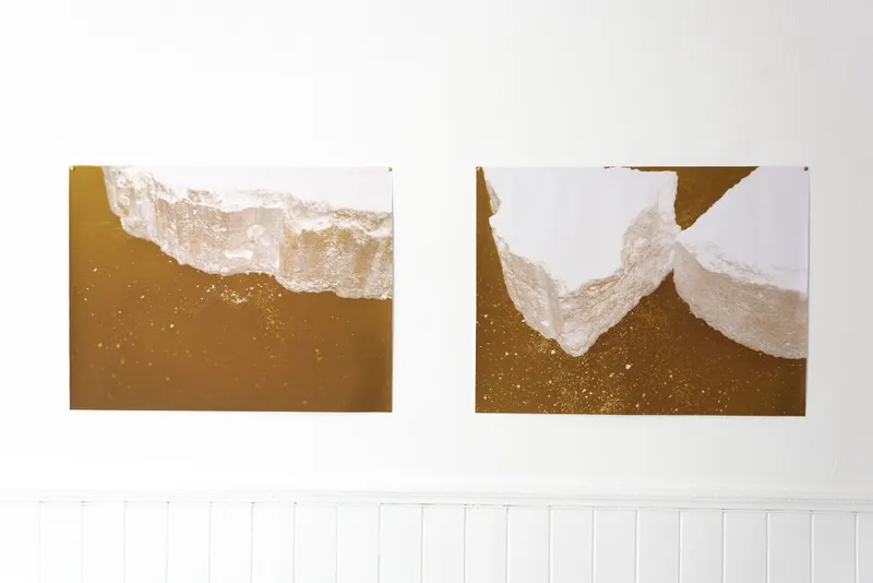
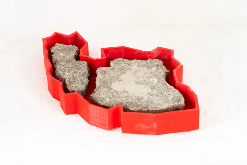
His work aims to explore how specific periods in his country’s history persist and model the present. His architectural knowledge and graphics background informs how he employs 3D and 2D print to criticise, question, and educate the audience about particular incidents in Iranian history. Most of the 3D works are digital designs, known as CGI and are 3D-printed.
The works have a strong architectural feel to them that gives them a sense of authority. This contrasts with references to traditional arts and history made in creation.
The effects of the recent social-political tensions in Iran is evident in his latest work with social media and the news informing these projects.
He was deeply inspired by Nazgol Ansarinia and Alighiero e Boetti in his recent projects. He tries to explore the aspects of the Map and the meaning of ‘Cartography’ in parallel to contemporary art. He also plays with Time and Space through his work, as in his opinion, maps are the symbolic answers to the ‘where’ and ‘when’ questions in history. The Map of Iran from 1789 to 1925, during the Qajar dynasty era as a symbol, is one of the critical elements of his projects. The objects’ materiality, hardness and softness, and colours are also crucial in his artworks.